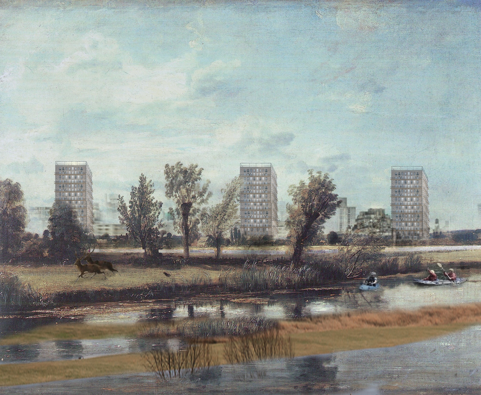
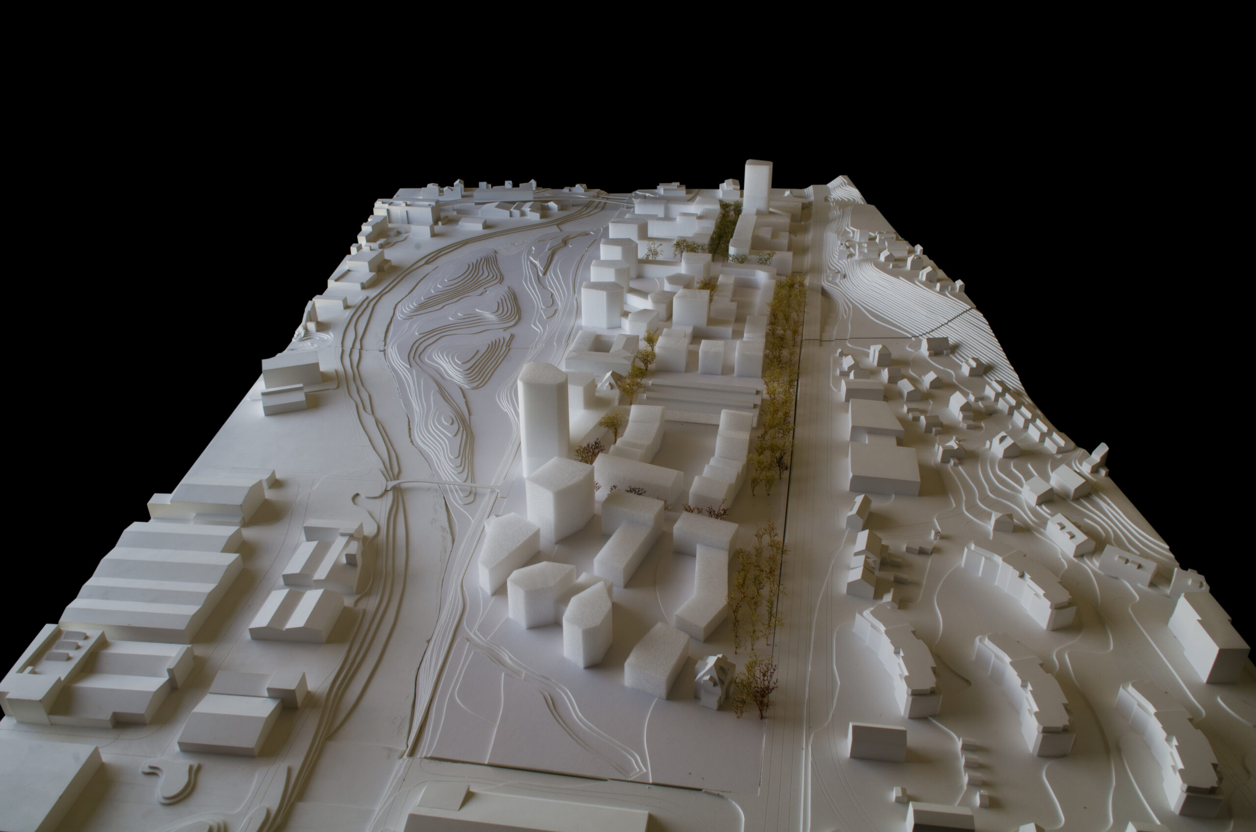
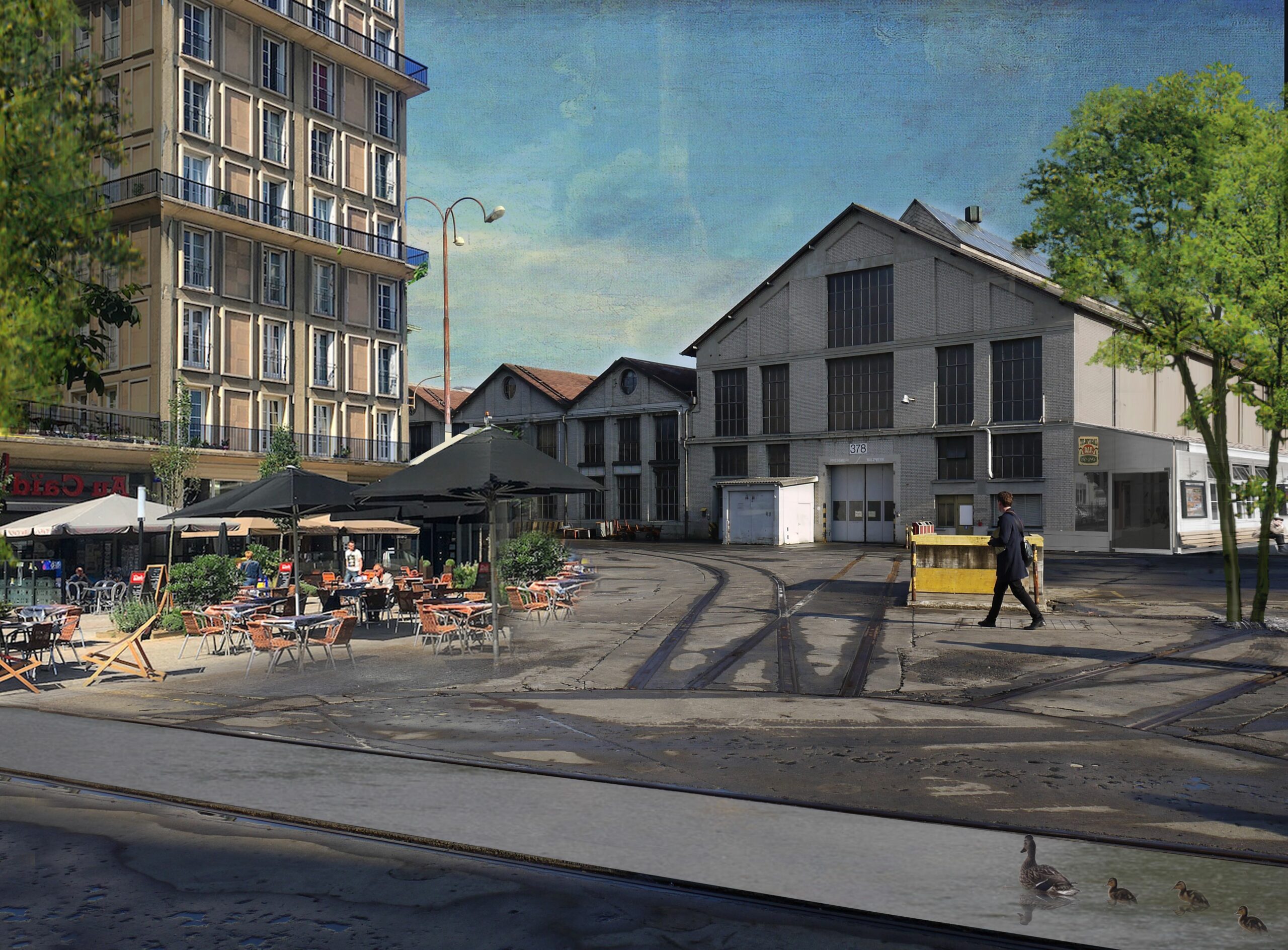
The former industrial area is divided into a generous river and floodplain area without buildings and a correspondingly denser urban development area. The resulting generous recreational and natural area is derived from the natural course of the Birs, which originally flowed through a floodplain here. The resulting geometry of the development strip, with a depth of approximately 110 to 150 metres, allows the entire development to be credibly related to the river space. The concentration of motorised access along the railway has only a minimal effect on the river space. With this simple and clear separation, a waterfront development on a unique and high-quality natural and landscape space, the Dornacherauen, is created from an industrial area that is today inconveniently located between the hollowed river and the railway embankment.
Dornach Swissmetal
2018 Dornach SO. Two-stage study contract (test planning)
Aufgraggeber
HIAG Real Estate
In collaboration with
Stefan Rotzler Landscape Architect, IBV Hüsler, River Engineering
Cooperation
Christian Salewski
Simon Kretz
Stefanie Stammer
Fareyah Kaukab